Accuracy in Services
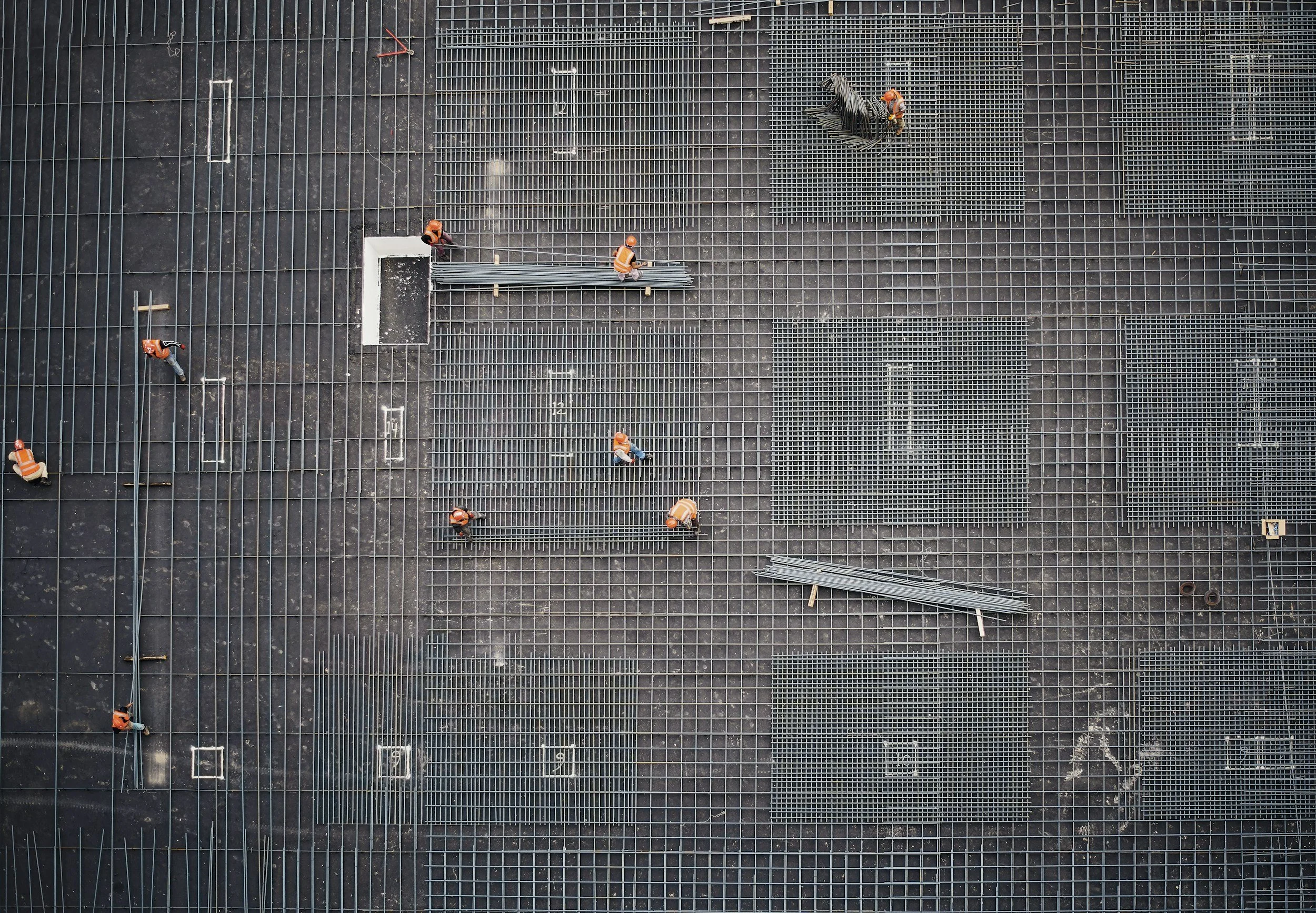
Introducing Existing Drawing a holistic service for site analysis, and pre-design works. By combining traditional site measurement techniques and Lidar and drone technology, we transform the way architects, developers, property owners, councils, and governing bodies approach site analysis before design discussions are undertaken.
Through our detail process we reduce project risks, assist in highlighting latent conditions and provide an accurate platform for projects to commence.
Architects, Engineers and Designers - Pre Design Services
Packages from $1450
Engage in pre-design services to obtain a complete documentation set, enabling architects and designers to understand the existing conditions of any site. This service helps reduce latent condition exposure, aids clients in understanding the project scope, minimizes the risk of site measurement mistakes, and highlights potential project risks and possible delays. Additionally, it saves time and project fees by ensuring correct file setup and thorough site analysis.
Town Planning Analysis - Zone, Flood mapping, environmental impacts, character zone, heritage zone, setbacks, QDC requirements.Services overlay - Elec, Sewar, Water, Storm Water, Gas, Telecommunications,Documentation of existing structures - Measured drawings of existing structures, landscape elements, out buildings, fences, neighboring buildings and structure3D scans internal and external - point cloud scaled models with realtime usability3D Revit model setup - usable revit model with native families, views and sheet setup 1:00 LODCAD plans, elevation, section - exported from revit sheet files for consultant coordinationPDF Plans, elevation, section - printable PFD files vector formatted for client design meetingsIntegration of existing revit templates and drawing files - revit model documented in preferred format with preferred revit families
Developers - Site Analysis and Feasibility Services
Packages from $960
This service provides developers with the opportunity to understand the opportunities and limitations of a given site, whether they are purchasing options or have already acquired an asset. It also allows developers to maintain a record of existing conditions for future use, sale, or marketing purposes.
Town Planning Analysis - Zone, Flood mapping, environmental impacts, character zone, heritage zone, setbacks, QDC requirements.Services overlay - Elec, Sewar, Water, Storm Water, Gas, TelecommunicationsDocumentation of existing structures - Measured drawings of existing structures, landscape elements, out buildings, fences, neighboring buildings and structureExported in format for architects and consultant use3D scans internal and external - point cloud scaled models with realtime usability

Pre Construction Services - Contractors
Packages from $1350
Prior to construction, as part of the due diligence process, it is important for contractors to cross-check architectural packages for anomalies and confirm that existing conditions are accurately reflected in the drawing packages. Engaging pre-construction services either prior to tender or after the project is awarded can help alleviate issues that may arise during the construction process, saving both time and unforeseen costs. Additionally, conducting a 3D scan and review of architectural drawings provides an accurate understanding of the site conditions before taking possession, which helps mitigate issues or remedial work during project completion and handover.
Services overlay - Elec, Sewar, Water, Storm Water, Gas, Telecommunications3D scans internal and external - point cloud scaled models with realtime usabilitySurvey Data overlaid against architectural drawings to confirm accuracyHighlight any anomalies or drawing conflicts which arise during review